Design Elements — Setbacks and Screening from Existing Roads
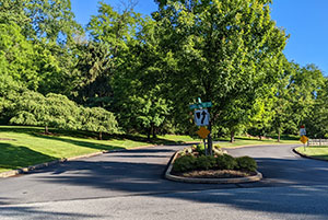
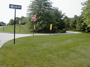
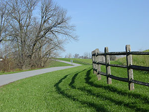
When a site's open space is used to its best advantage, the existing character of a rural area can be preserved. The most efficient and naturalistic way of screening is to maintain existing vegetation as a buffer between streets, adjacent uses, and the development, but new plantings, landforms, and deep setbacks can be used if no existing vegetation is present. See also the Screening description within the Landscaping section.
Ordinance Considerations
Existing site conditions may or may not lend themselves to setbacks and screening, but when they do, the ordinance standards should encourage screening through setbacks, naturalistic and varied landscaping (including both evergreen and deciduous plant material) and existing landforms. Use of this technique is particularly important where the municipality has identified scenic viewsheds in its open space or comprehensive plan.
Sample Ordinance Language — Setbacks and Views of House lots
Location of Houses in Relation to Open Space
Views of house lots from exterior roads and abutting properties shall be minimized by the use of changes in topography, existing vegetation, or additional landscaping which meets the landscaping and screening requirements of Section of the Subdivision and Land Development Ordinance.
Setbacks
Greater setbacks can be required from abutting external road rights of way. For example, while the subdivision ordinance may require a setback of only 25 to 35 feet for a house abutting a new internal road, a setback of 75 to 100 feet can be required for existing external roads adjacent to the proposed subdivision if one of the goals is to screen the development from existing roadways.
Sample Ordinance Language — Scenic Road Protection
Where a road has been designated by a municipality as "scenic", additional steps may be taken by the applicant to ensure these views are minimally impacted by new development.
- The applicant shall perform a scenic inventory which shall include:
- Roadway viewshed and location of scenic resources that will be affected by development of the site.
- Important view sight lines from the roadway that should remain open to the scenic resources identified in Section a.
- Existing screening that could be preserved or intensified to conceal new development such as tree rows, woodlots, mature landscaping plant masses, walls and fences, and existing buildings or structures.
- The site vicinity characteristics that are desirable to simulate, such as building architecture, construction materials and color, and native vegetation.
- From the inventory information above, the applicant shall determine:
- Areas outside of the viewshed where development will be located.
- Critical visual areas that will remain open so scenic resources can be seen from the best viewpoint.
- Less critical visual areas within the viewshed where development can be placed if the area outside of the viewshed is inadequate. These areas are to be located to the side of the critical views or behind existing or proposed screening.
- Improvements such as buildings, structures, and parking areas shall be located to minimize the impact on scenic views and the disturbance of natural features.
- The following design guidelines shall be followed when developing the site.
- Building design and siting are to lessen the contrast with the landscape, e.g., siting buildings in the lower portion of the site.
- Natural screening is to be used or extended to screen buildings and other improvements. Where possible, improvements are to be located behind woodlots or tree rows, or new woodlots or tree rows.
- New plantings in landscape screenings are to be native species and arranged in a density and groupings that appear to occur naturally.
- New buildings are to use architecture, construction materials, and colors consistent with the desirable characteristics of existing buildings on the site.
Sample Ordinance Language — Scenic Overlay District Buffer Requirements
Additional screening may be necessary when buffering cannot be fully achieved through the configuration of the open space. The following ordinance language intended as an example of how planted buffer requirements can be implemented to protect a scenic roadway. A municipality contemplating the implementation of such standards should work with a landscape architect to ensure that the planting requirements are appropriate to the needs and characteristics of their community.
The following buffer requirements shall be maintained along any portion of the tract adjacent to the existing right-of-way:
- A natural undisturbed buffer, a minimum of twenty-five (25) feet wide and a maximum of fifty (50) feet wide, with an average width of thirty (30) feet, shall be maintained. If there are no existing canopy or understory trees in the buffer area, the following planting rates shall apply. If existing canopy or understory trees in the buffer area do not satisfactorily provide screening that would be similar to that achieved by the planting rates, then supplemental canopy or understory trees shall be required as determined by the municipality, upon the advice of a landscape architect. The following planting rates per one hundred (100) linear feet shall be required:
- Five (5) canopy trees; and
- Eight (8) understory trees.
- A secondary natural undisturbed buffer meeting the following standards shall be maintained for a distance of two hundred (200) feet along any proposed street intersecting with the existing street.
- The two hundred (200) foot distance requirement shall be measured from the intersection of the rights-of-way, however, the secondary buffer width and planting rate shall begin at the termination of the buffer along the existing road.
- The width of the secondary buffer shall proportionately decrease from thirty (30) feet at its inception to eight (8) feet at its termination with the following planting rates:
- One (1) canopy tree per six hundred (600) square feet of buffer area; and
- One (1) understory tree per three hundred seventy-five (375) square feet of buffer area.
- Trees shall be planted a minimum of ten (10) feet, but no more than fifty (50) feet, from other trees.
- No development, including improvements, buildings, structures, or parking areas shall be allowed within the buffer. Streets or easements may be permitted to cross the buffer when necessary for access or utilities.


