Design Elements — Preserve Natural Resources
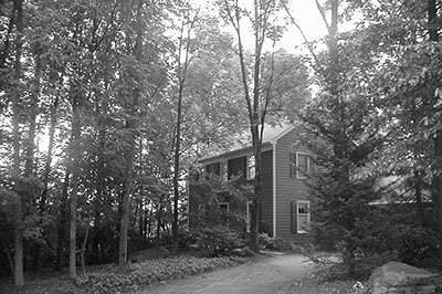
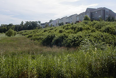
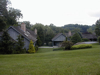
Preserving natural resources and integrating them into a new subdivision's site design can greatly reduce the development's impact on the site and the surrounding environment. Mature vegetation can provide screening, add shade, and enhance sense of place.
Ordinance Considerations
Preservation of natural features on the site should be approached from two fronts:
- Municipal ordinances should contain resource protection standards that apply to all types of proposed development — residential and non-residential — in the municipality. Such standards typically include disturbance limitations for floodplains, wetlands, streams, riparian buffers, steep slopes, and woodlands.
- Cluster subdivision design requirements should ensure that the most sensitive natural resources are located in the open space where they can be permanently protected. The location of all the resources on the site should be identified first and the open space located accordingly.
Some ordinances require natural resource areas like wetlands and very steep slopes to be subtracted from the total tract area and required open space to be based on the total developable tract area. Other ordinances permit the natural resource areas to be included in the total open space calculation. The latter should also require that some minimum percentage of the open space be unconstrained land so that it can be used and enjoyed for recreational purposes by the residents of the subdivision, even if that results in the requirement of a higher percentage of open space.
Minimum Recommended Protection Standards
| Protected Resource | Protection Standard* | Suggested Location of Provisions | Other Protection Provisions |
|---|---|---|---|
| Floodplain | 0% | Zoning | FEMA approved floodplain standards |
| Steep Slopes 15-25% |
30% | Zoning |
|
| Steep Slopes 25% and up |
0-15% | ||
| Wetlands | 0% | Zoning |
|
| Wetland Margins | 20% | Zoning | Require 50-75 feet total margin width depending on conditions adjacent to the wetland |
| Riparian Buffer: Inner Buffer | 0% | Zoning |
|
| Riparian Buffer: Outer Buffer | 20% | ||
| Woodlands: Residential | 30% | Zoning and SLDO (tree replacement standards in SLDO) |
|
| Woodlands: Non-residential | 50% | ||
| Stormwater Management | n/a | Stormwater Management Ordinance | Stormwater standards that prioritize green infrastructure, promote infiltration and low-impact design |
| Site Plan Requirements | n/a | SLDO | Resources must be identified and mapped on site plan |
| Continued Protection of Resources | n/a | Zoning and SLDO | Provisions for permanent protection of preserved resources |
* Maximum Percent Disturbance Allowed — Where resources overlap, the stricter protection standar applies.
Additional Resources
- Brandywine Greenway Strategic Action Plan contains model ordinance language for natural resource protection.
- Chester County Planning Commission's eTools


